

 Marysville
The Triangle
Marysville
Overview
The connection of the townships of Marysville, Narbethong and Buxton, known locally as the Triangle is home to a 36km road ride.
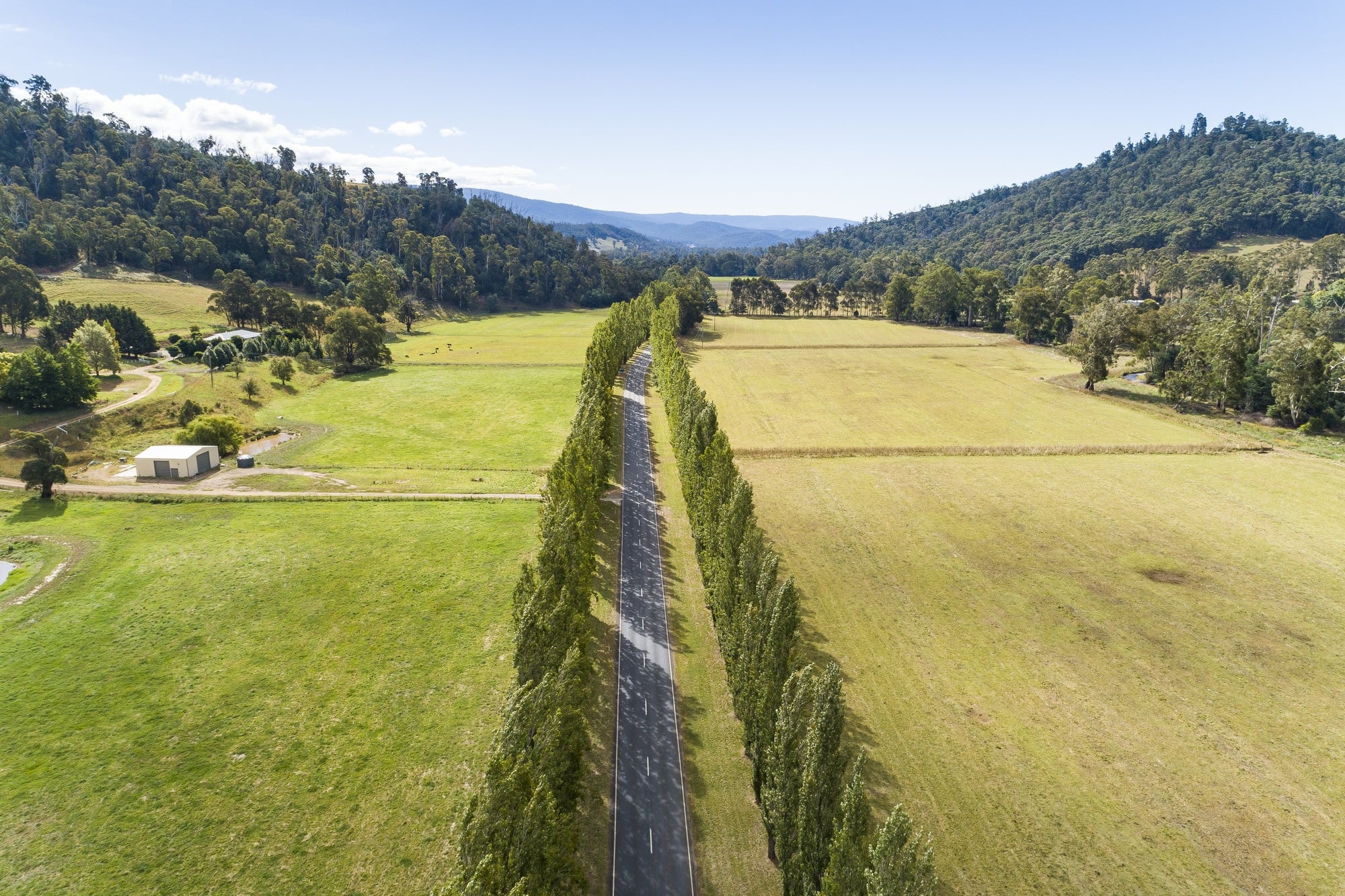
With views along the entire ride of nearby peaks, rolling hills and farmland the route passes the small township of Buxton where you can stop for a bite to eat to refuel before tackling the home leg to Marysville beneath the nearby Cathedral Ranges and along the well known Gould Memorial Drive where giant poplars line either side of the road (check it out in Autumn when the leaves turn a bright yellow).
Map
More like this
Explore similar things in the High Country Explorer.
- Cycling Road Cycling Cycling Route