

 Mitta Mitta, VIC
Mitta – Bullhead Gap Loop
5557 Omeo Hwy, Mitta Mitta, VIC 3701
Video
Overview
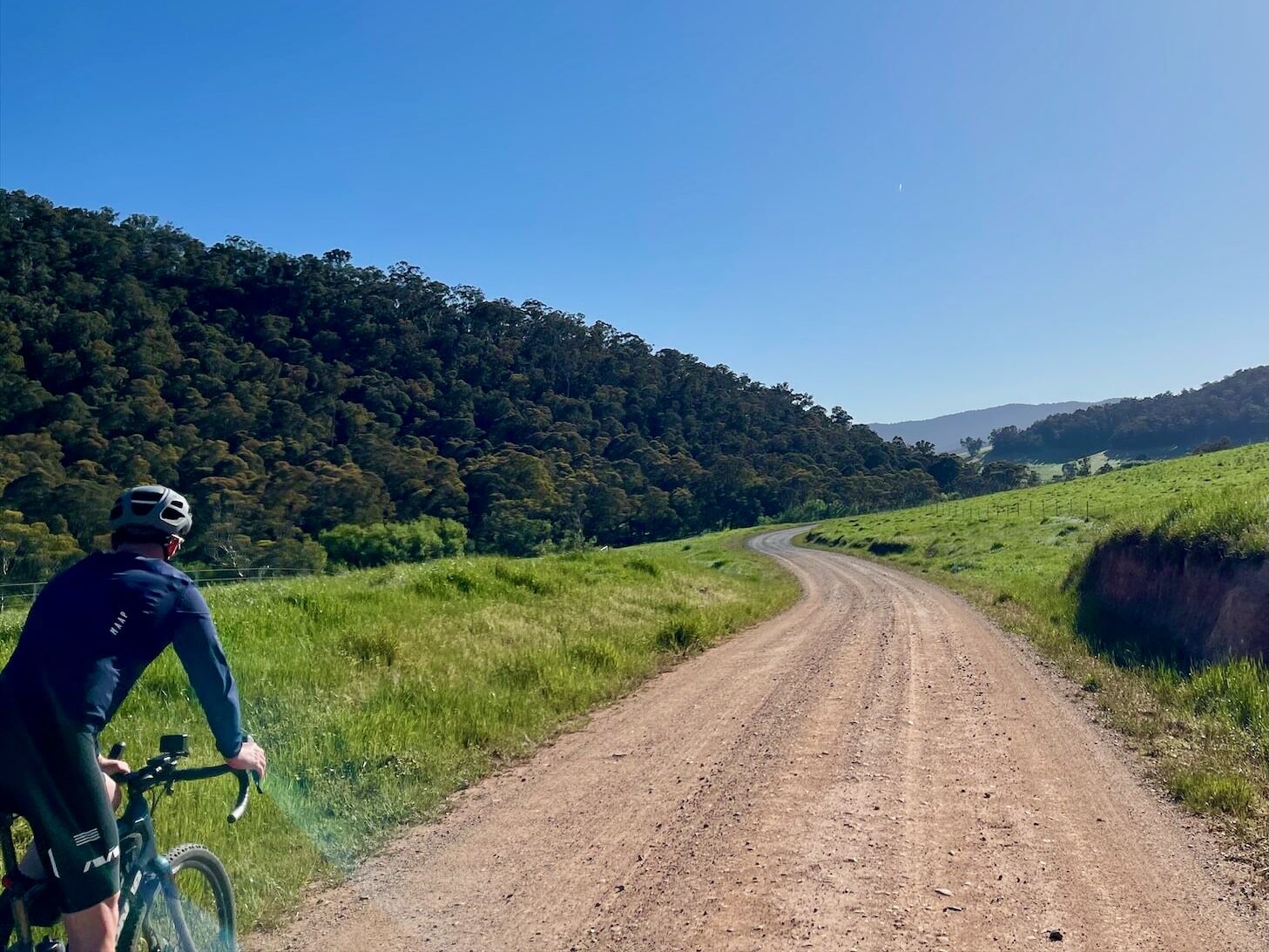
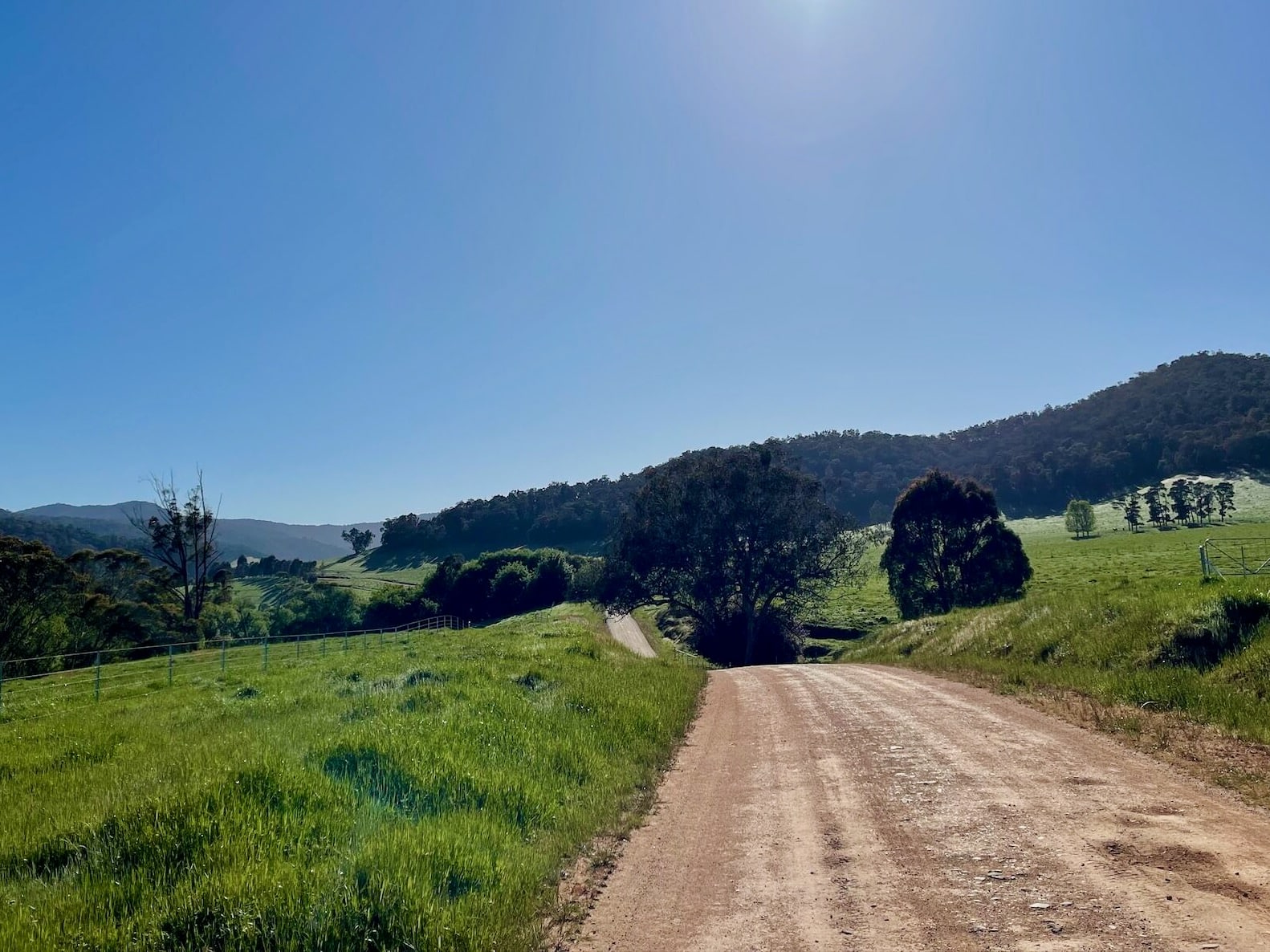
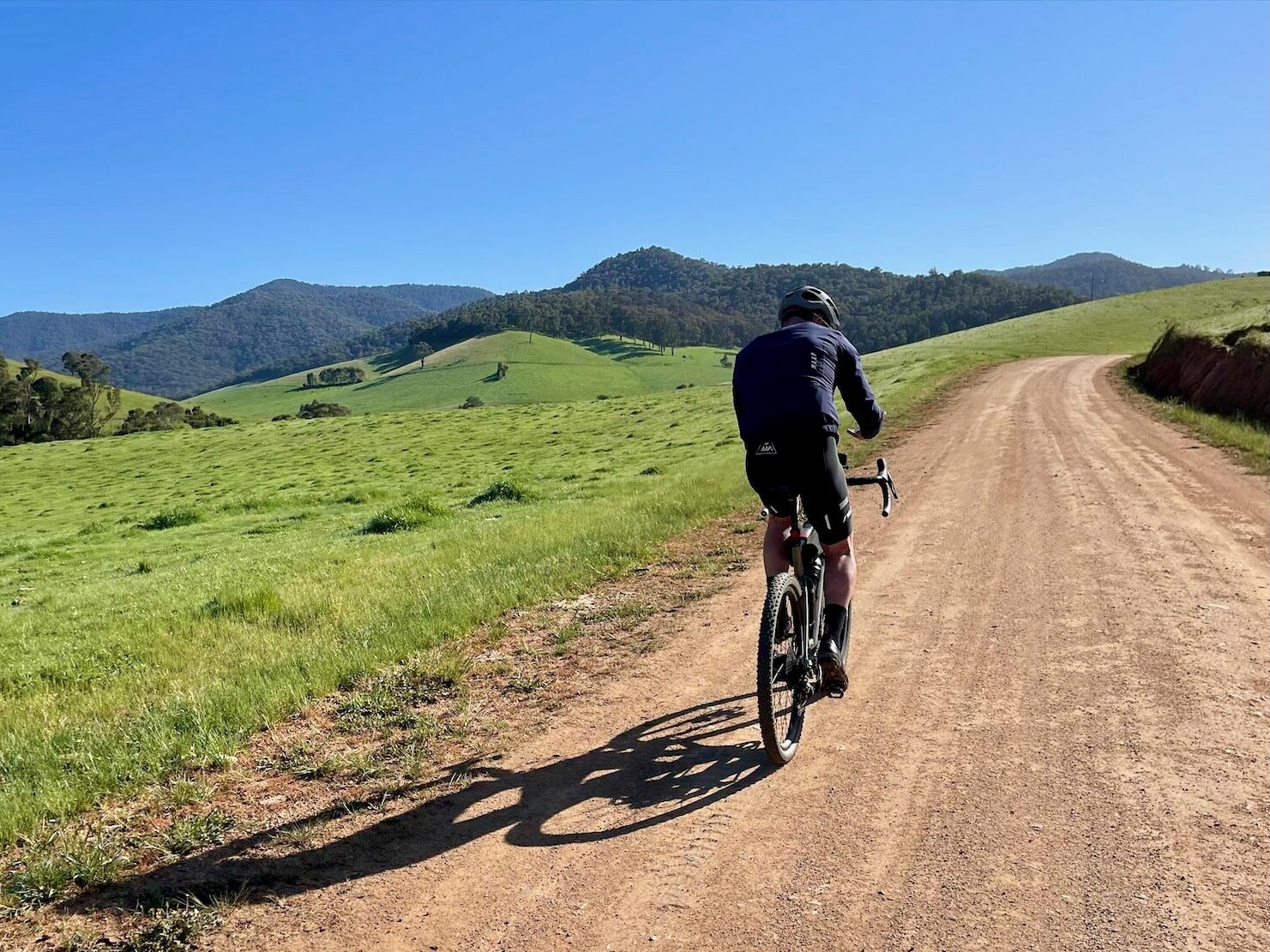
This advanced authentic off-road loop has it all – moderate ascents and skill-testing descents, stunning views and hardpacked rural roads perfect for fast rolling.
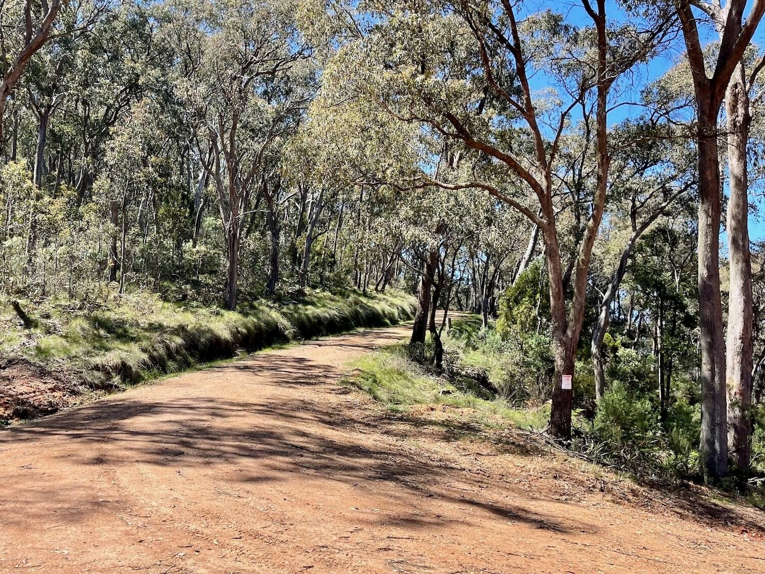
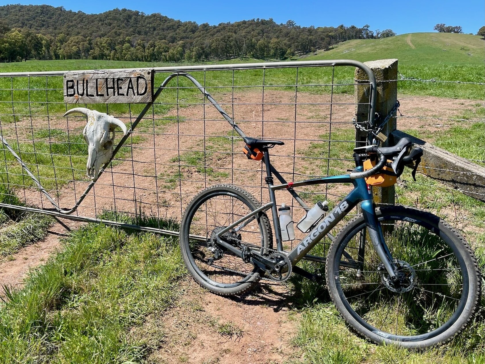
Setting off from the gravel riding haven of Mitta Mitta, this route shares part of the Callaghan Creek route before venturing up and over the challenging Bullhead Gap. Cyclists will enjoy bush tracks with loose corners and unpredictable ruts through bushland, past curious alpacas and friendly cows (don’t forget to shut the gates). Authentically ‘off-road’, riders must be self-sufficient and experienced in remote conditions as there are no services along this route.
Start location - Snowy Creek Picnic Ground, Mitta Mitta
Finish location - Snowy Creek Picnic Ground, Mitta Mitta
Route distance - 46.9km
Elevation gain - 884m
Water - Mitta Mitta township
Toilets - Mitta Mitta township
Locals tip - Refresh and refuel at Mitta Mitta Brewing Co. when you get back to town.
Looking for more unforgettable gravel rides? Click here to check out the full Ride High Country gravel network.
More like this
Explore similar things in the High Country Explorer.
- Cycling Gravel Cycling Cycling Route