Kaluna Park 

Ryley Street Wangaratta Victoria
Circuit
Nature Walks
1 km
10 minutes
Grade 1: No bushwalking experience required. Flat even surface with no steps or steep sections. Suitable for wheelchair users who have someone to assist them. Walks no greater than 5km.
Grade 2: No bushwalking experience required. The track is hardened or compacted surface and may have a gentle hill section or sections and occasional steps. Walks no greater than 10km.
Grade 3: Suitable for most ages and fitness levels. Some bushwalking experience recommended. Tracks may have short steep hill sections a rough surface and many steps. Walks up to 20km.
Grade 4: Bushwalking experience recommended. Tracks may be long, rough and very steep. Directional signage may be limited.
Grade 5: Very experienced bushwalkers with specialised skills, including navigation and emergency first aid. Tracks are likely to be very rough, very steep and unmarked. Walks may be more than 20km.

Kaluna Park is a 5.2-hectare natural remnant of River Red Gum riverine bushland, located within easy walking distance of Wangaratta's city centre.

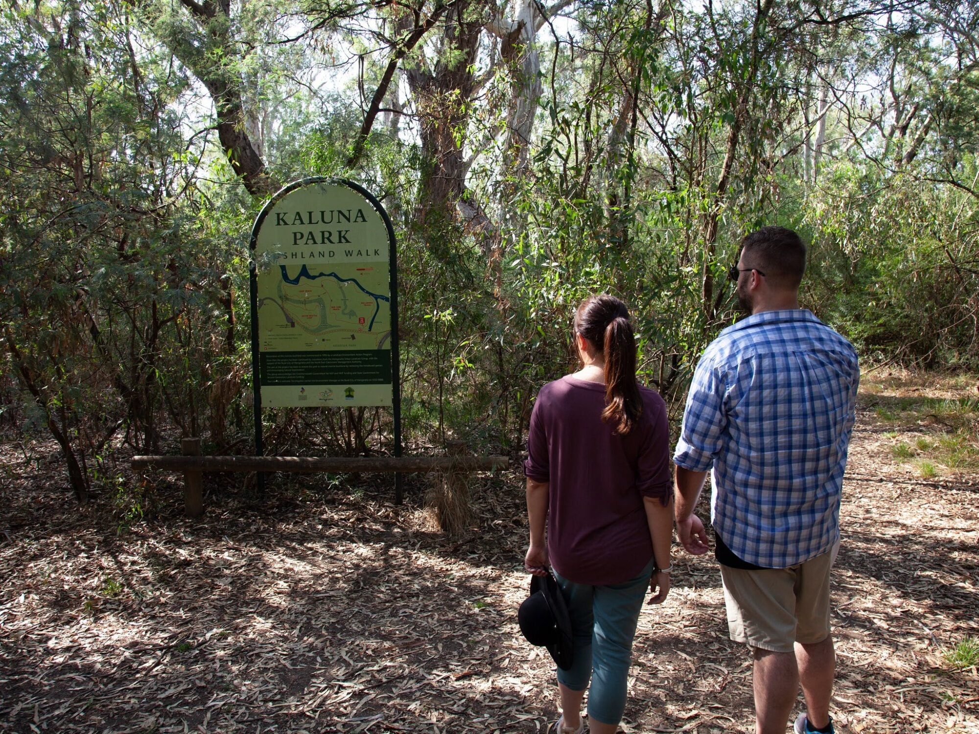
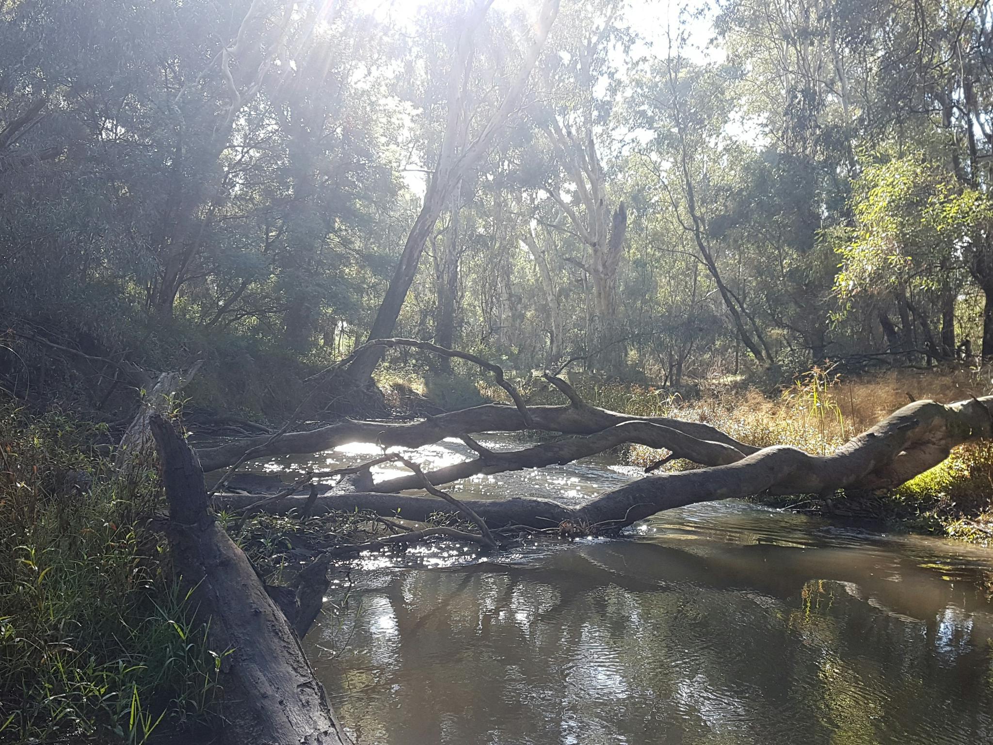
Bordered by the King River, a billabong and a levee bank separating it from Merriwa Park, the reserve offers a peaceful nature escape close to town.

Since 1995, the area has undergone extensive restoration, with ongoing ecological management by Wangaratta Landcare and Sustainability Inc and Council. Today, it is a haven for wildlife, particularly woodland and wetland bird species.

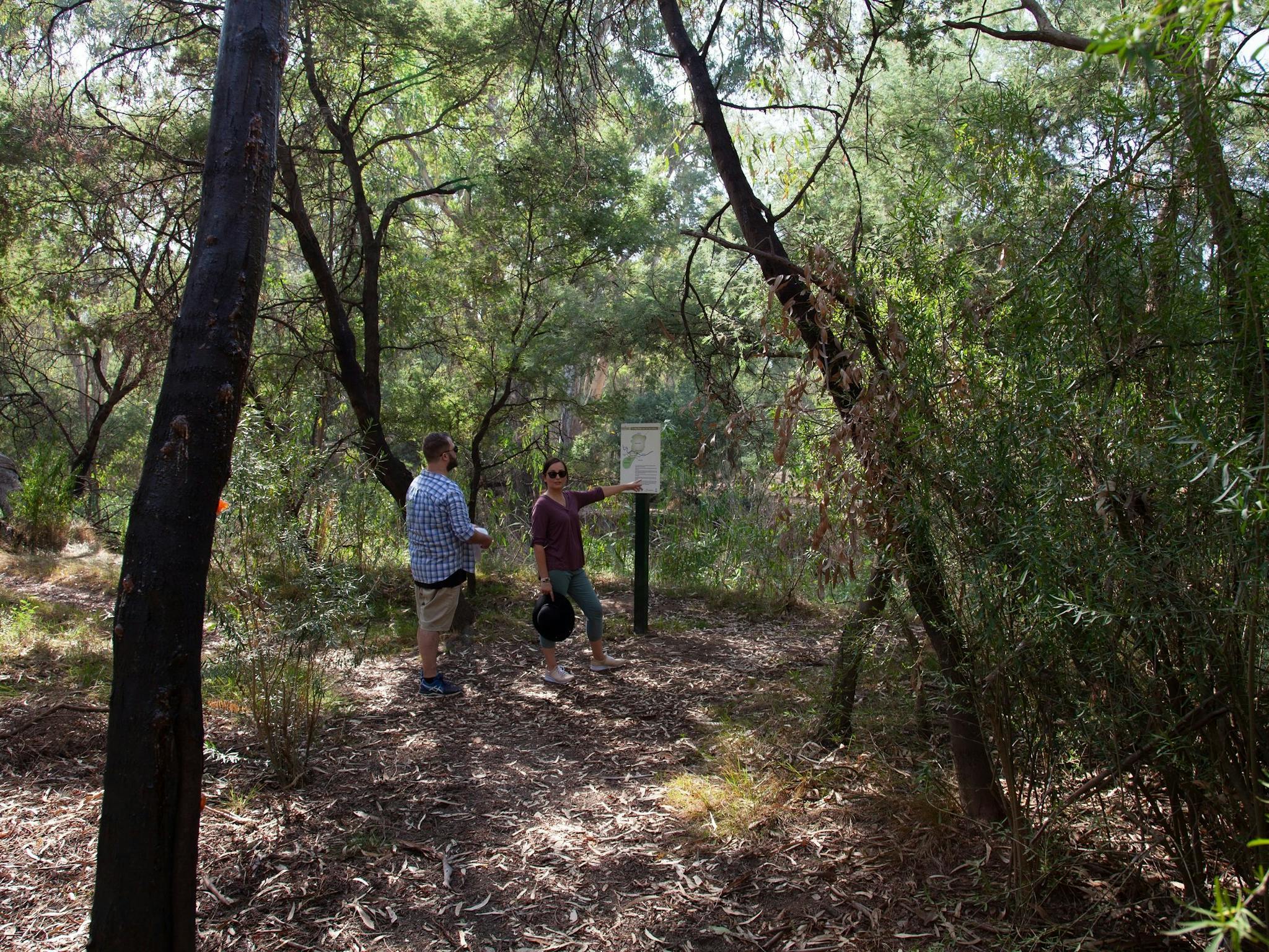
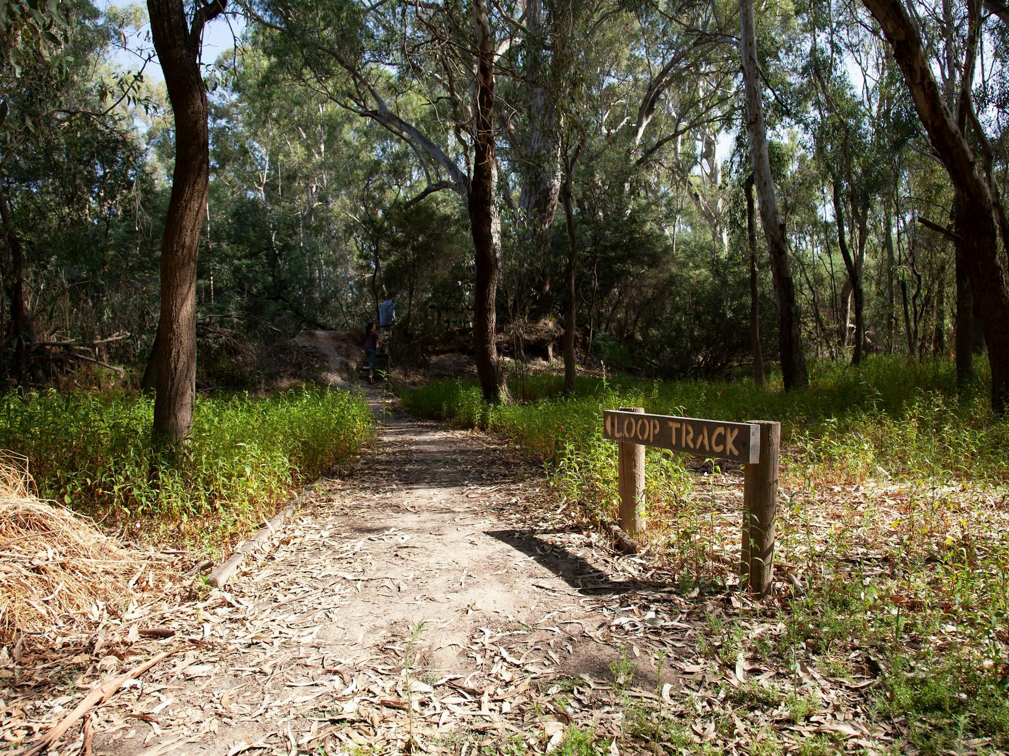
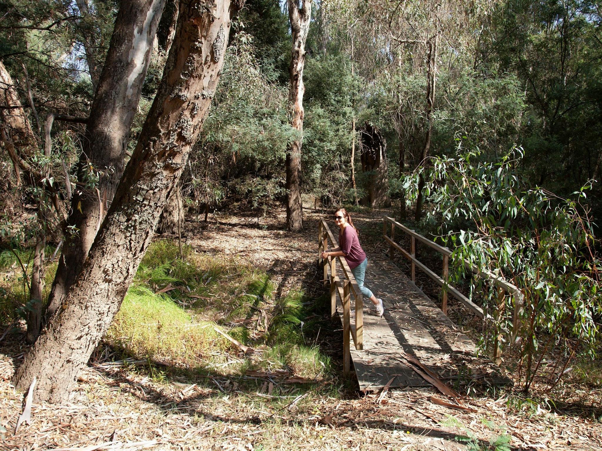
Visitors can explore approximately 1.2 kilometres of walking tracks, complete with seating and interpretive signage, making it an enjoyable and accessible experience for all ages. Entry to Kaluna Park is via the levee bank near the soundshell in Merriwa Park, where nearby barbecue and toilet facilities are also available.

Kaluna Island adjoins the park and extends the experience, covering over 18 hectares of riverine woodland. Home to significant vegetation including rare Apple Box and ancient River Red Gums—some more than 300 years old—it also supports native grasses and birdlife. Access is via a concrete footbridge at the end of Thomas Street. Please note access may be limited during periods of high river flow.

For more information, a brochure is available from the Visitor Information Centre.

...

- Click items below to explore similar thingsin the High County Explorer

atdw tracking pixel