

 Mount Buller, VIC
Mirimbah Loop (From Telephone Box Junction)
Mount Stirling Rd, Mount Buller, VIC 3723
Video
Overview
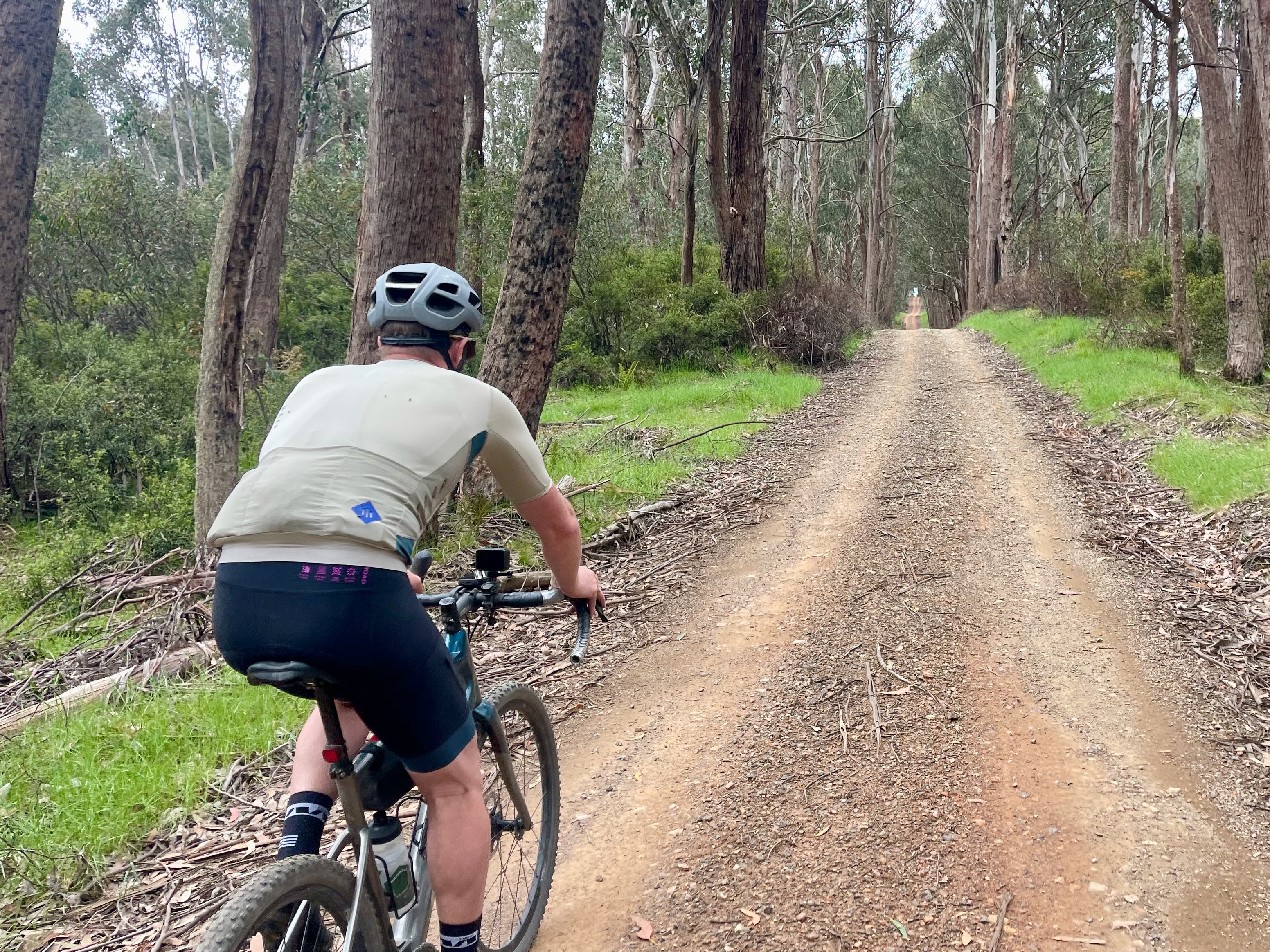
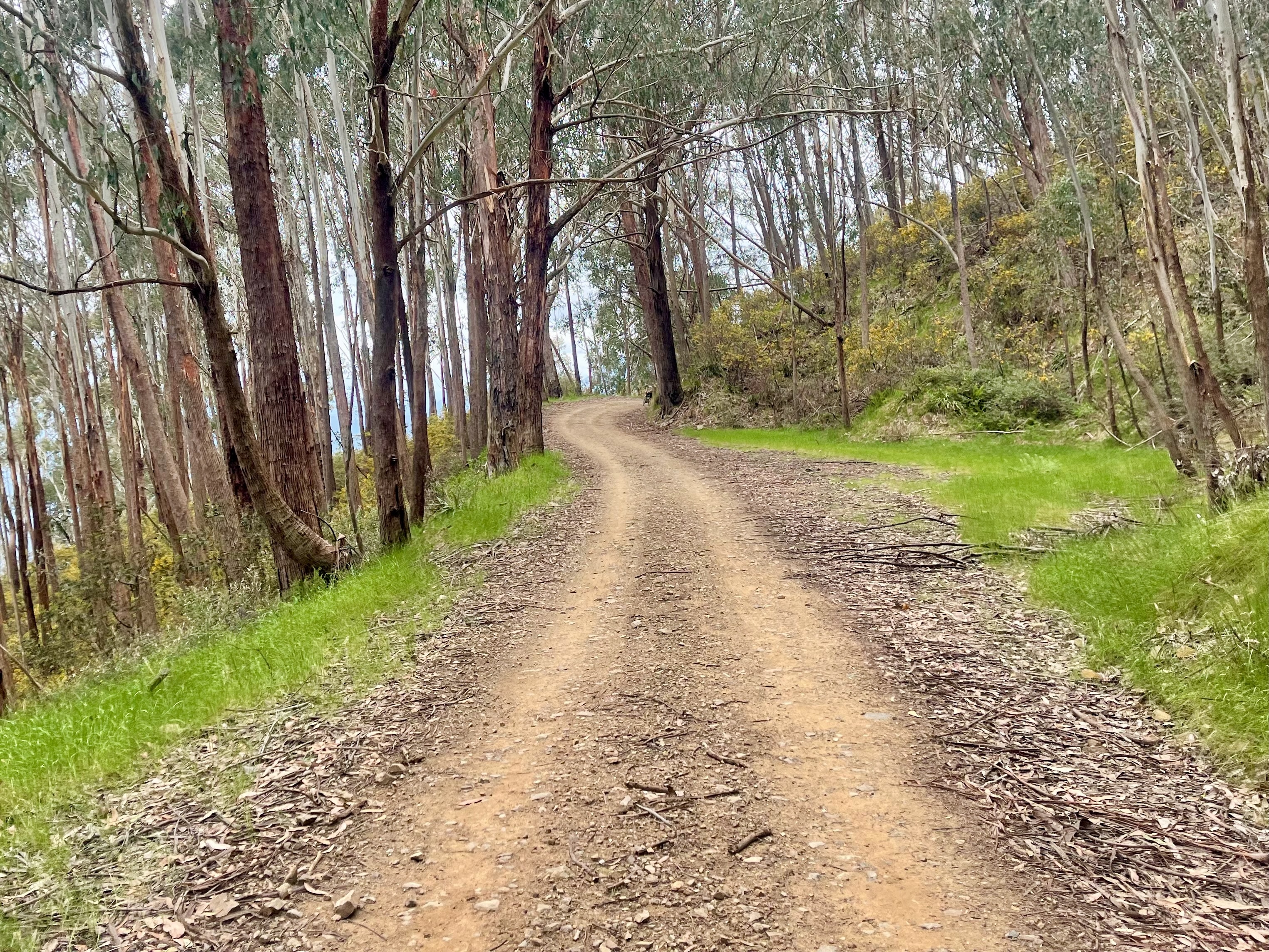
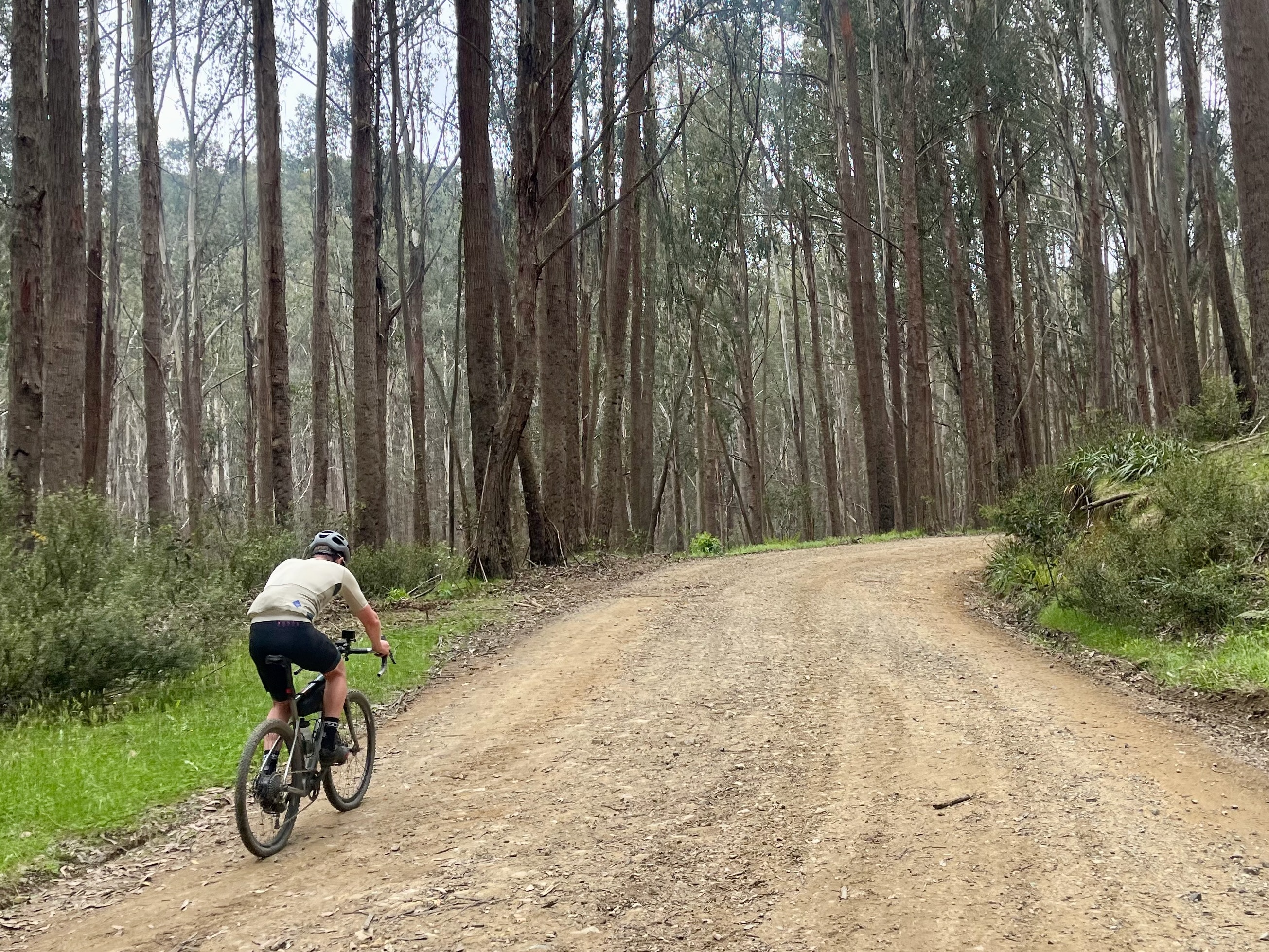
Starting at serene Telephone Box Junction on Mt Stirling, loop through classic bush landscapes as you ascend and descend a range of altitudes.
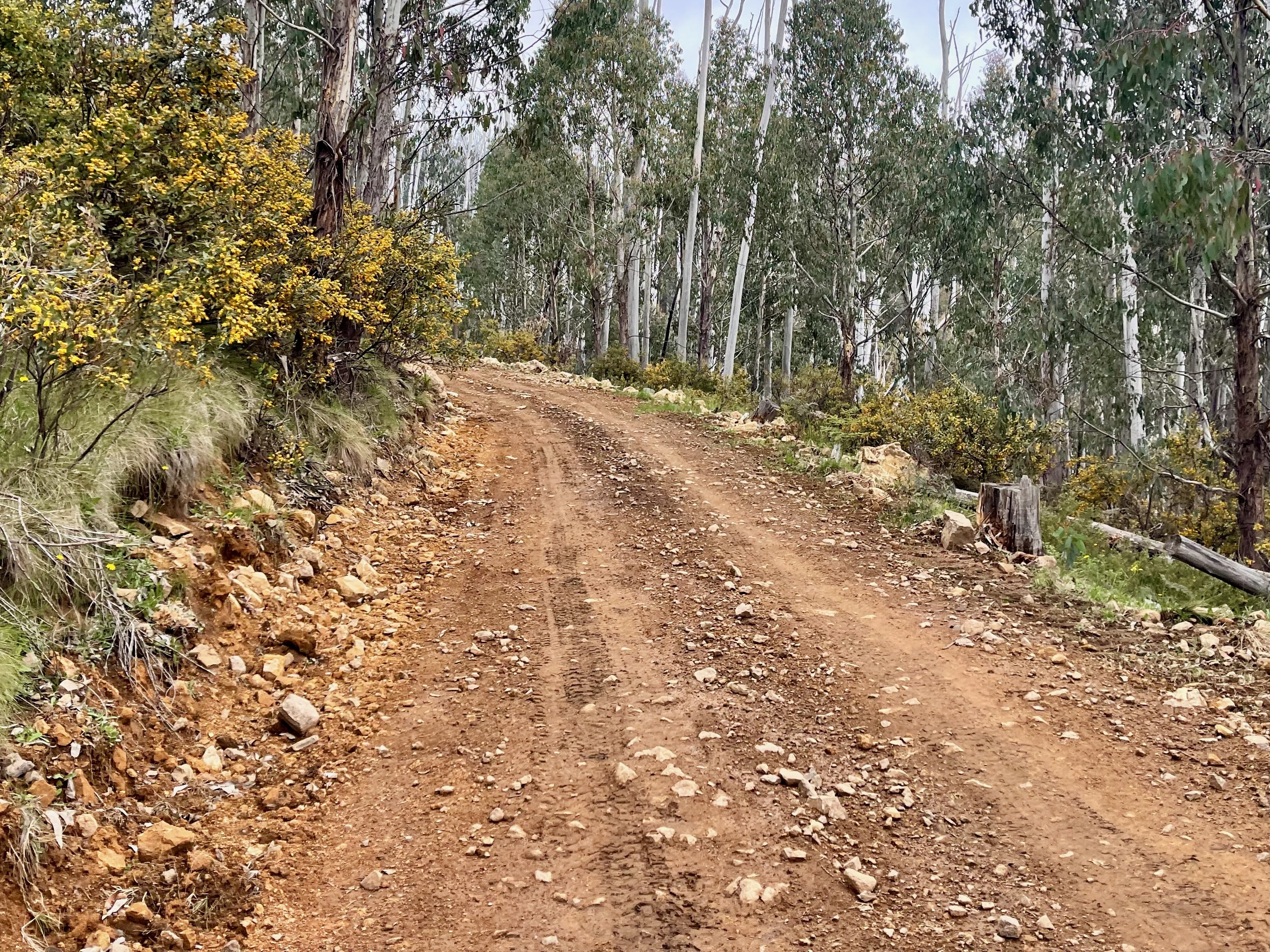
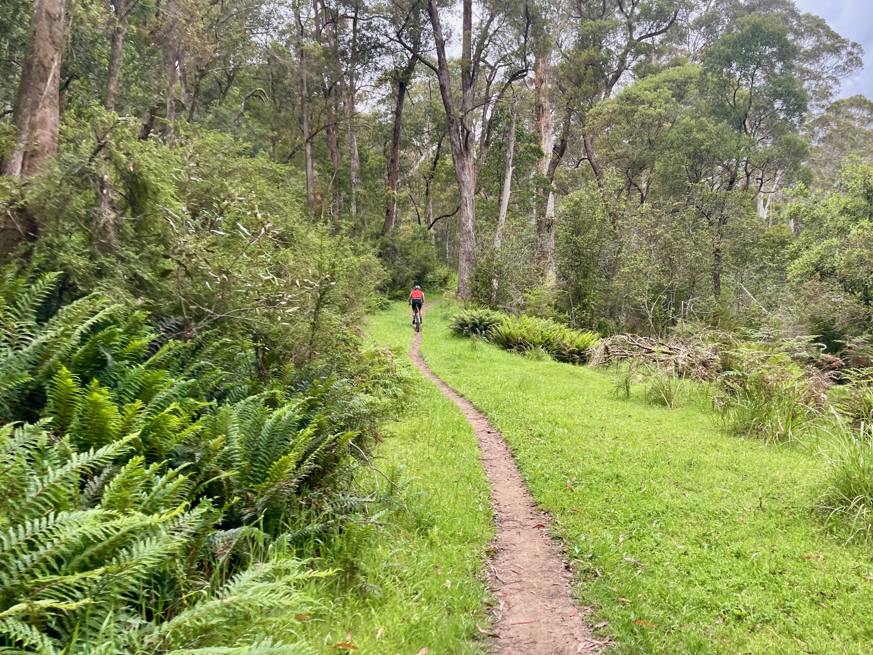
This loop blends a wide variety of altitudes, environments and terrain, leaving Telephone Box Junction and climbing to 1550m before descending. Be challenged by varying technical gravel interspersed with exhilarating descents. At Mirimbah Park take a refreshing dip in the Delatite River to prepare yourself for the 10km climb back to the loop's start. This route's surface is at the adventure end of gravel and requires expert handling skills and experience in remote conditions. Burly gravel or hardtail mountain bikes with 42mm+ tyres are highly recommended to take on the route's narrow singletrack, smooth wide roads, technical chunky descents and persistent climbs.
Start location - Telephone Box Junction, Mt Stirling
Finish location - Telephone Box Junction, Mt Stirling
Route distance - 40.8km
Elevation gain - 1,180m
Water & Toilets - Telephone Box Junction, Mirimbah Park & Carter's Mill Picnic and Camping Area
Note - Always check the weather forecast before heading out for a ride in Victoria's alps. This route is only open in the Green season from November to early May.
Looking for more unforgettable gravel rides? Click here to check out the full Ride High Country gravel network.
More like this
Explore similar things in the High Country Explorer.
- Cycling Gravel Cycling Cycling Route Mtb Trail