

 Rutherglen
The Cornishtown Loop
Rutherglen
Overview
• From the Rutherglen Wine Experience, head south-east along Main Street.
• This turns into the Rutherglen-Chiltern Road. Follow for approximately 3.5km, before turning left into Cornishtown Road.
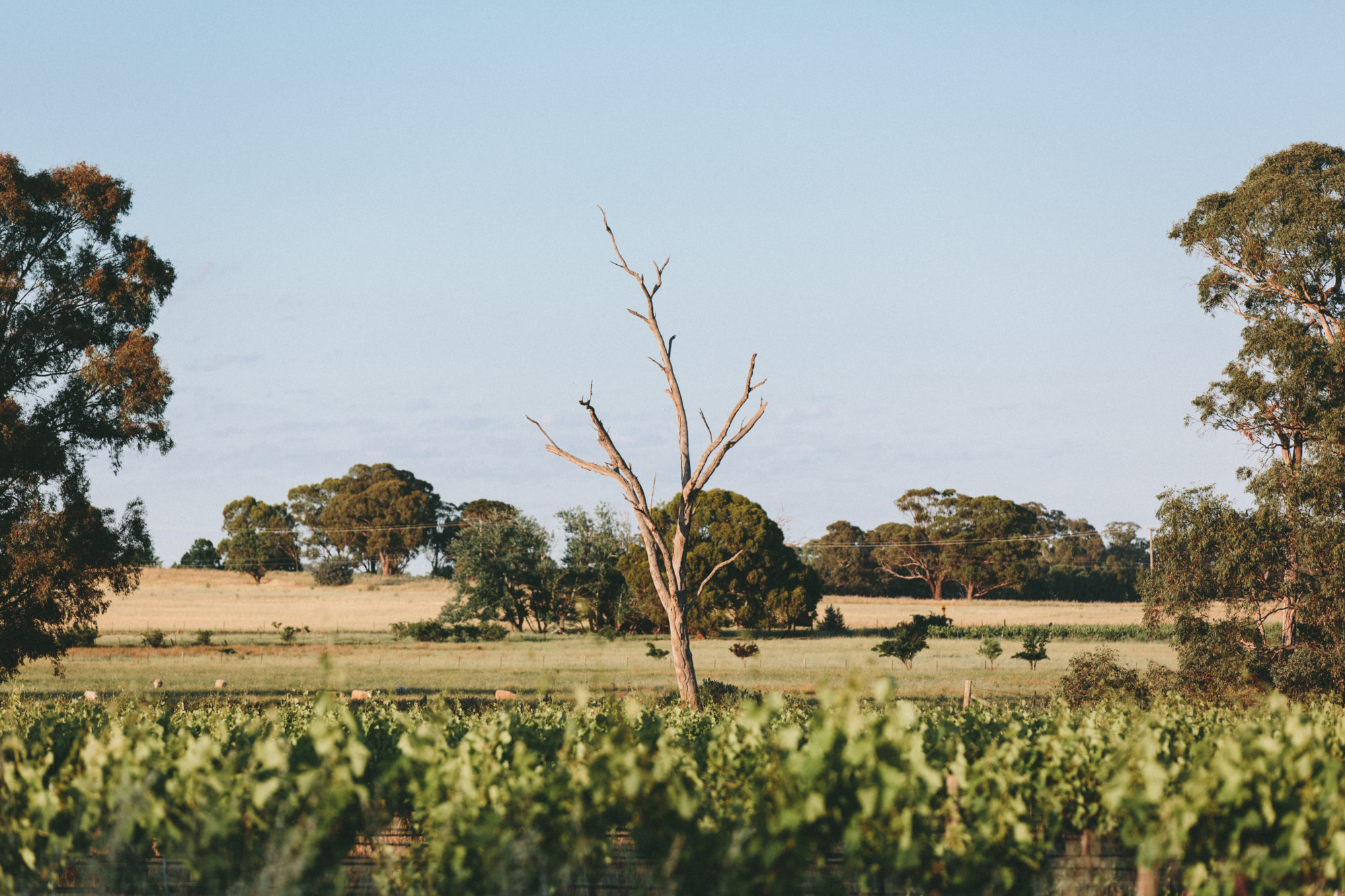
• Continue for 12km along the gently undulating Cornishtown Road, with the impressive French provincial tower of Mount Ophir - a sign of the region's rich winemaking history. At the end of Cornishtown Road turn sharp left into Chiltern-Howlong Road, passing through the fringes of the Box Ironbark National Forest.
• Continue north, crossing the Murray Valley Highway before turning left onto Gooramadda Road.
• Continue along Gooramadda Road for approximately 16kms back into Rutherglen.
More like this
Explore similar things in the High Country Explorer.
- Cycling Cycling Route
- Attractions Scenic Drive
- Walking Walking Track