Mountain & Castle Trail 

Falls Creek
One Way
Nature Walks
4.5 km
1 hour
Grade 1: No bushwalking experience required. Flat even surface with no steps or steep sections. Suitable for wheelchair users who have someone to assist them. Walks no greater than 5km.
Grade 2: No bushwalking experience required. The track is hardened or compacted surface and may have a gentle hill section or sections and occasional steps. Walks no greater than 10km.
Grade 3: Suitable for most ages and fitness levels. Some bushwalking experience recommended. Tracks may have short steep hill sections a rough surface and many steps. Walks up to 20km.
Grade 4: Bushwalking experience recommended. Tracks may be long, rough and very steep. Directional signage may be limited.
Grade 5: Very experienced bushwalkers with specialised skills, including navigation and emergency first aid. Tracks are likely to be very rough, very steep and unmarked. Walks may be more than 20km.

Hike to the highest drivable point in the Southern Hemisphere, Falls Creek's own Mt McKay.

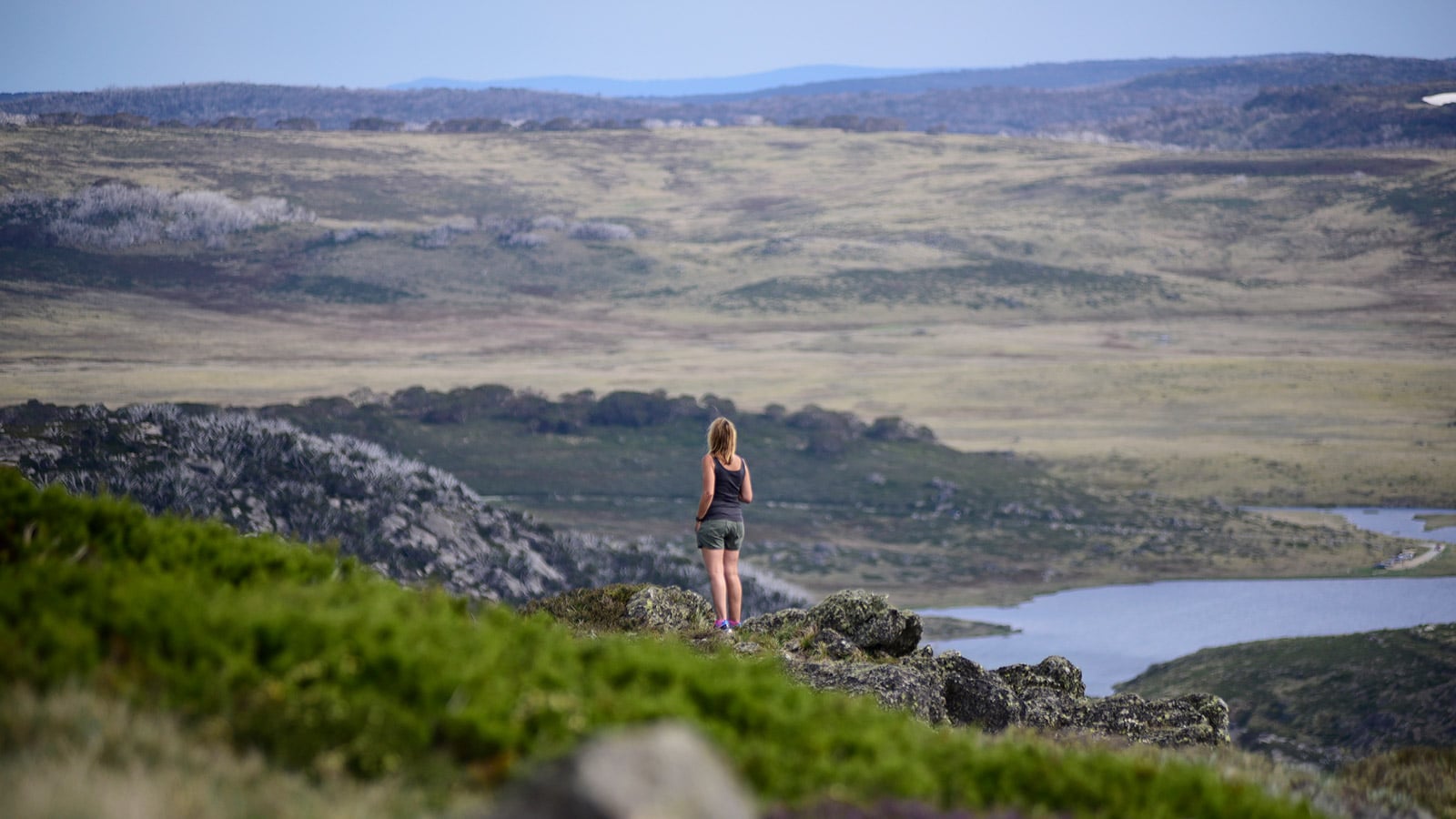
At 1849m above sea level the reward is an incredible view across Falls Creek and Bogong High Plains. A great Summer trek, this trail takes you past Sun Valley and some of Falls Creek’s most popular ski runs to the base of Mt McKay. Another great feature of this hike is passing the columnar outcrop of basalt rock from which Ruined Castle draws its name.

Begin your walk at Ory’s Trail (on Schuss St opposite Milch Café), following it up until you reach the large brown tank containing Falls Creek’s water supply. Continue uphill along the vehicle track until it crosses onto the old Summit home trail to where the trail forks. Veer left following the trail markers until you reach Pretty Valley Road. From here head right along the road until you reach the Ruined Castle rock feature. Keep following the winding trail uphill to a vehicle track and across Pretty Valley Road before reaching the base of Mt McKay (1,872m). Follow this road up and you’ll be rewarded with spectacular views across to Mt Hotham, Mt Feathertop and Mt Bogong.

...

- Click items below to explore similar things in the High County Explorer