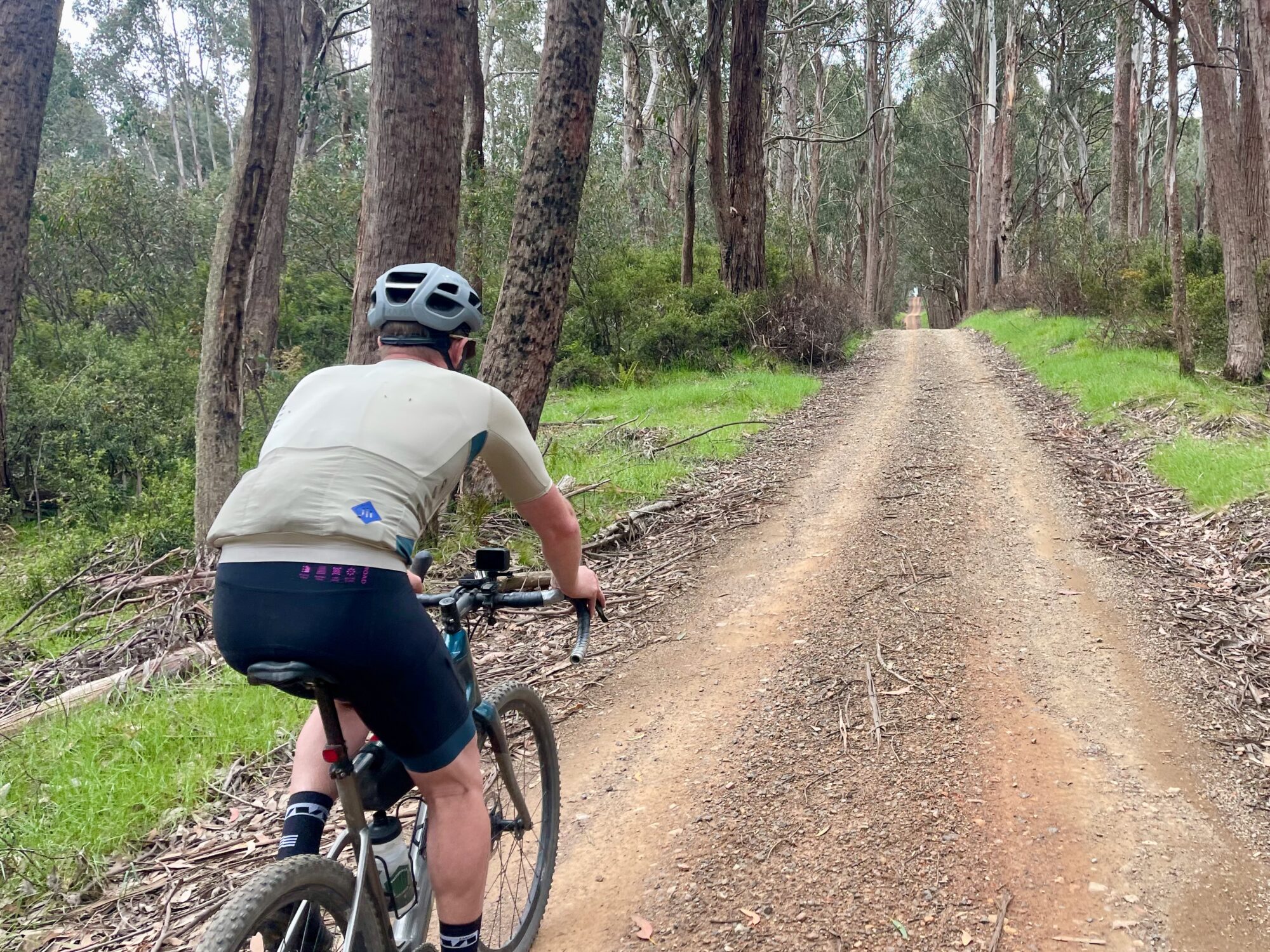
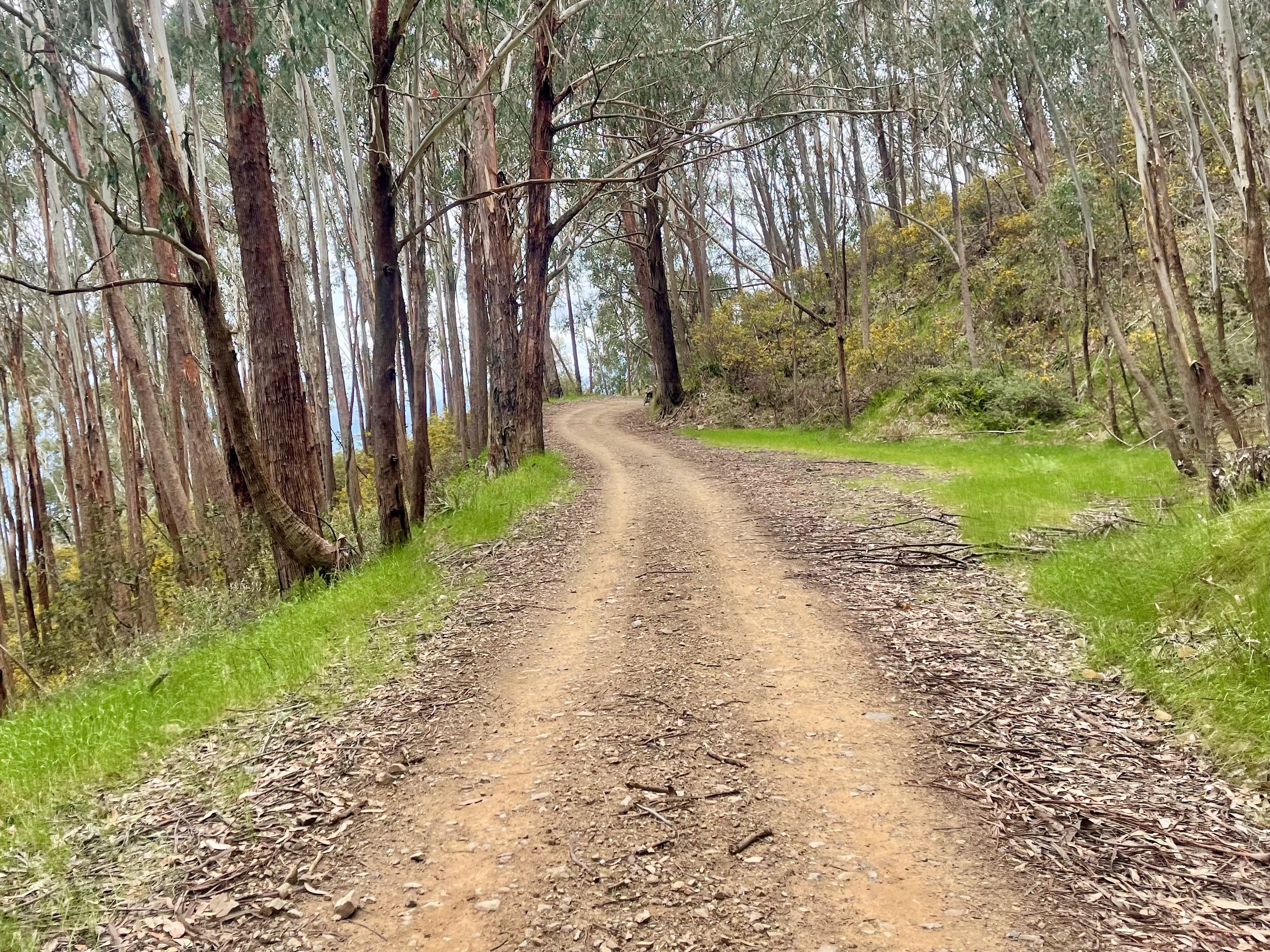
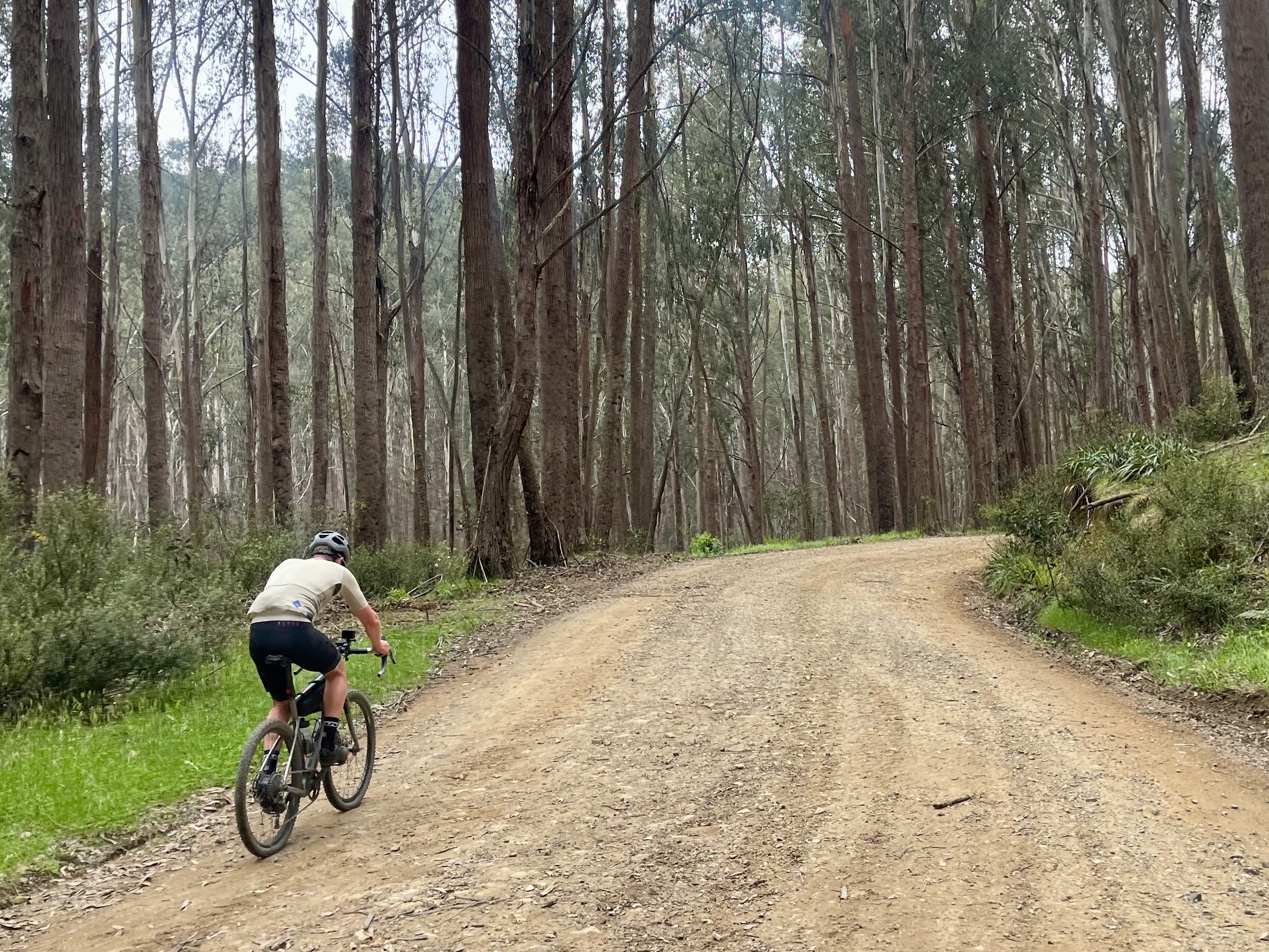
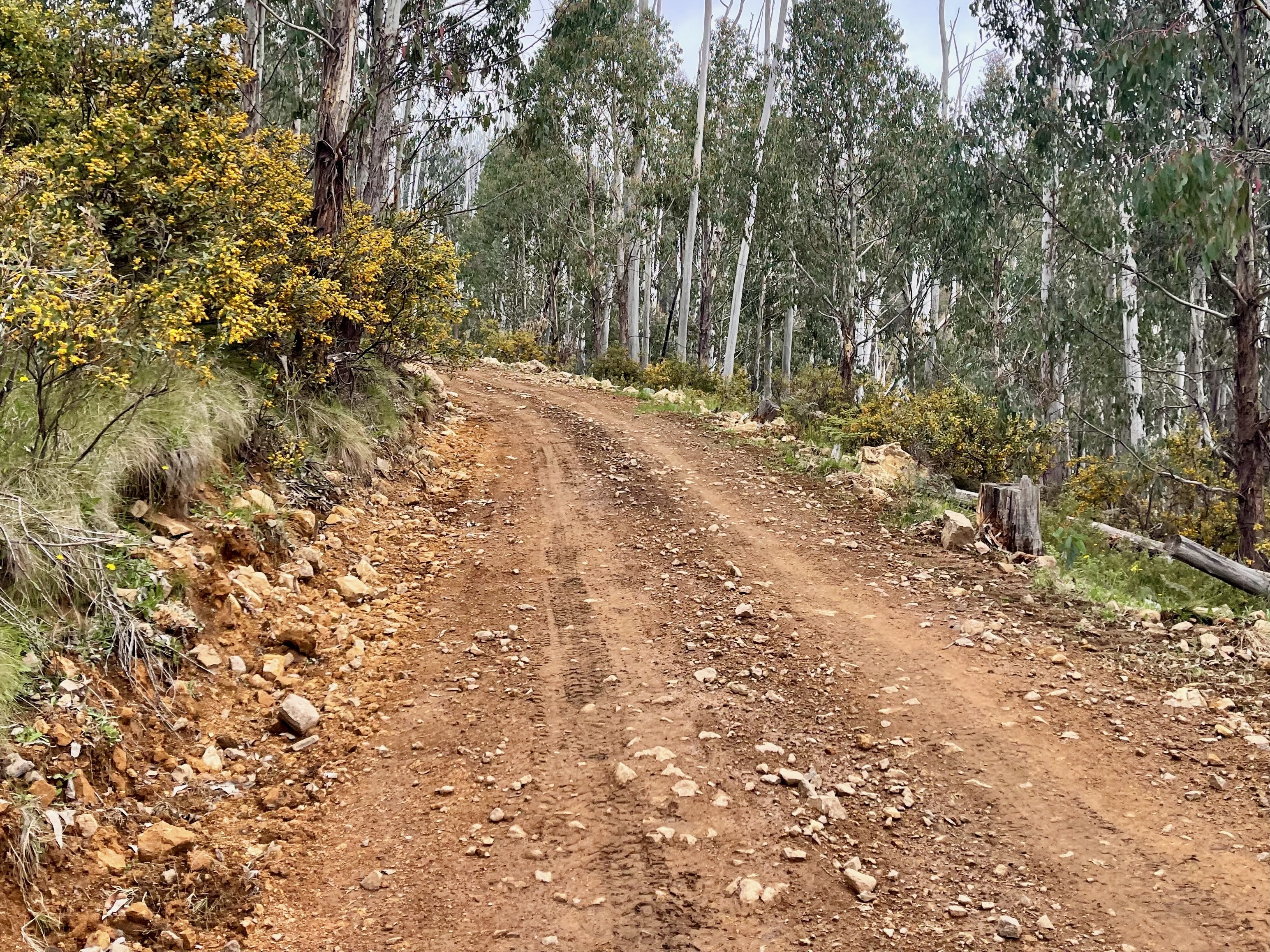
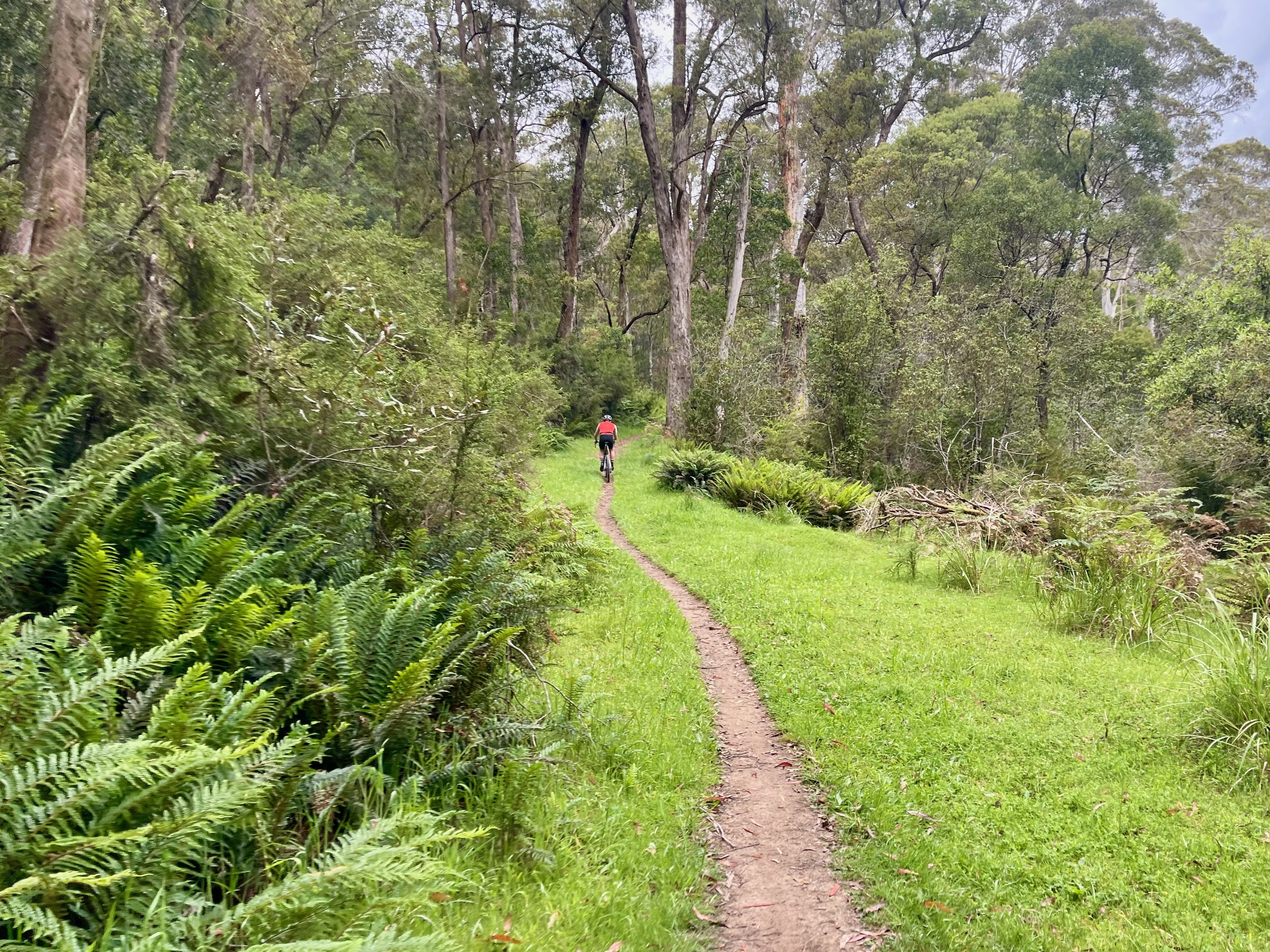
This loop blends a wide variety of altitudes, environments and terrain, leaving Telephone Box Junction and climbing to 1550m before descending. Be challenged by technical gravel in the first 2kms of the descent until Carters Road where the route transforms into a smooth, exhilarating ride. At Mirimbah Park take a refreshing dip in the Delatite River to prepare yourself for the 10km climb back to the loop's start. Ideal for gravel experts, you'll move between narrow singletrack and wide roads, smooth surfaces and technical gravel.
Start location - Telephone Box Junction, Mt Stirling
Finish location - Telephone Box Junction, Mt Stirling
Elevation gain - 1,180m
Water & Toilets - Telephone Box Junction, Mirimbah Park & Carter's Mill Picnic and Camping Area
Note - Always check the weather forecast before heading out for a ride in Victoria's alps. This route is only open in the Green season from November to early May.
Looking for more unforgettable gravel rides? Click here to check out the full Ride High Country gravel network.


