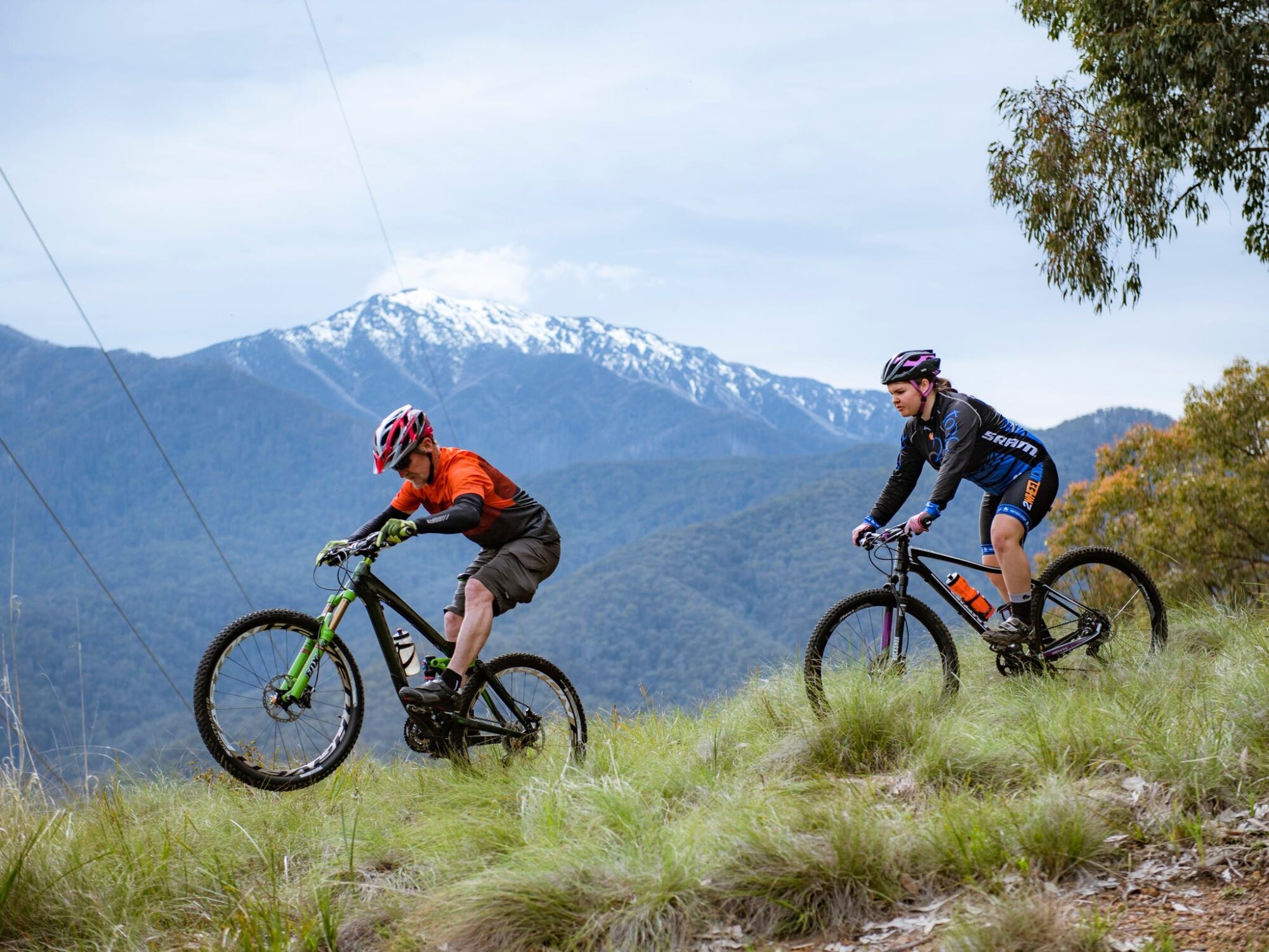
The Yellow Loop is a challenging 10km XC loop and takes in some of our favourites as well as Mt Beauty's most iconic trails. Start in the car park and follow the yellow arrows up Survey Track. After working up a sweat on the climbs, you'll be taken on a grand tour of the MTB park - from tight and technical to fast and flowy, this loop has it all.
DH Descent - if shuttling is more your thing, drive 3km up the BHP Rd and take a right on to the fire road at the hairpin. Once at the top of Mt Beauty proper, take DH1 track all the way back to the carpark.
Trails marked as blue and black are suitable for advanced riders. Check out the Trailforks App for trail descriptions.
The trail head is located on the Bogong High Plains Tourist Drive, 1.5 km from the centre of Mount Beauty as you are heading towards Falls Creek.
Learn more about Big Hill MTB Trails here.
Further information:
Most trails start at the Big Hill MTB Park Trailhead on Bogong High Plains Tourist Drive, 1.5 km from the centre of Mount Beauty as you are heading towards Falls Creek, where you will find a trail map. Check out the Trailforks App for trail descriptions.
Trail difficulty markers:
Green - beginner
Blue - intermediate
Black - advanced
Season - Year round
Trailhead - Bogong High Plains Tourist Drive, 1.5 km from the centre of Mount Beauty.
Cost - Free
Shuttles - If you are just starting out we don't recommend booking shuttles. Shuttles should only be used by confident cyclists. If you are new to mountain biking we suggest starting on lower trails.
Car Parking - Trailhead
Toilets - Trailhead
Water station - Trailhead
MTB Hire - Rocky Valley Bikes
Trail Map - located at the trailhead and via Trailforks app. Download a park map here.