One Way
Wilderness Walks
Grade 4
60 km
4 days
Grade 1: No bushwalking experience required. Flat even surface with no steps or steep sections. Suitable for wheelchair users who have someone to assist them. Walks no greater than 5km.
Grade 2: No bushwalking experience required. The track is hardened or compacted surface and may have a gentle hill section or sections and occasional steps. Walks no greater than 10km.
Grade 3: Suitable for most ages and fitness levels. Some bushwalking experience recommended. Tracks may have short steep hill sections a rough surface and many steps. Walks up to 20km.
Grade 4: Bushwalking experience recommended. Tracks may be long, rough and very steep. Directional signage may be limited.
Grade 5: Very experienced bushwalkers with specialised skills, including navigation and emergency first aid. Tracks are likely to be very rough, very steep and unmarked. Walks may be more than 20km.
Length: 60kms, 4 days hike.
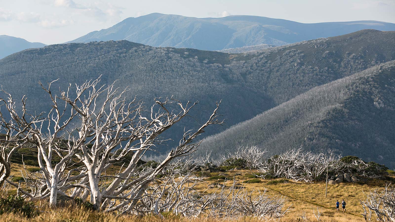
The long distance Australian Alps Walking Track traverses the Bogong High Plains on its mountainous and often remote 60km journey through the Australian Alps national parks. The track in this area links Mt Loch to the south with Mt Bogong to the north, a distance of around 60kms. It crosses the Bogong Alpine Way near Cope Hut. This challenging walk can be completed comfortably in 4 days.
Many people undertake this beautiful high country section of the AAWT between Pole 1 (Loch Carpark Mt Hotham - Pole 1285 Mt Bogong)
...
- Click items below to explore similar thingsin the High County Explorer