Trawool Valley
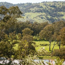
Trawool, originally named ‘Traawool’, the indigenous word for ‘wild water’, is a district dominated by agriculture, dairy and unforgettable scenery. The area was first explored by Hume and Hovell in 1824, and later settled as a large sheep station. The district is bounded in the East by the Bald Hills and to the West by…
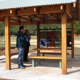
Read MoreAlexandra Visitor Information Centre
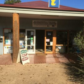
Alexandra is a neat country town located in the foothills of the Great Dividing Range, 130 kilometres north east of Melbourne. Lake Eildon National Park, the snow fields of Mt Buller and Lake Mountain, and the Upper Goulburn River are all only a short drive from Alexandra. Alexandra is home to a small number of…
Read MoreFry’s Hut
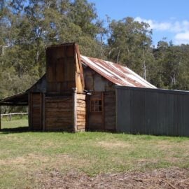
Master Bushman, Fred Fry, built his riverside high country home in the late 1930s. Using split timber and his own personal style of workmanship he erected many huts in the region including Jamieson Hut, Ritchie’s Hut, Gardiner’s Hut and Noonan’s. Fred lived a solitary existence for many years in the Howqua Hills area, prospecting and…
Read MoreHowqua Hills Historic Area
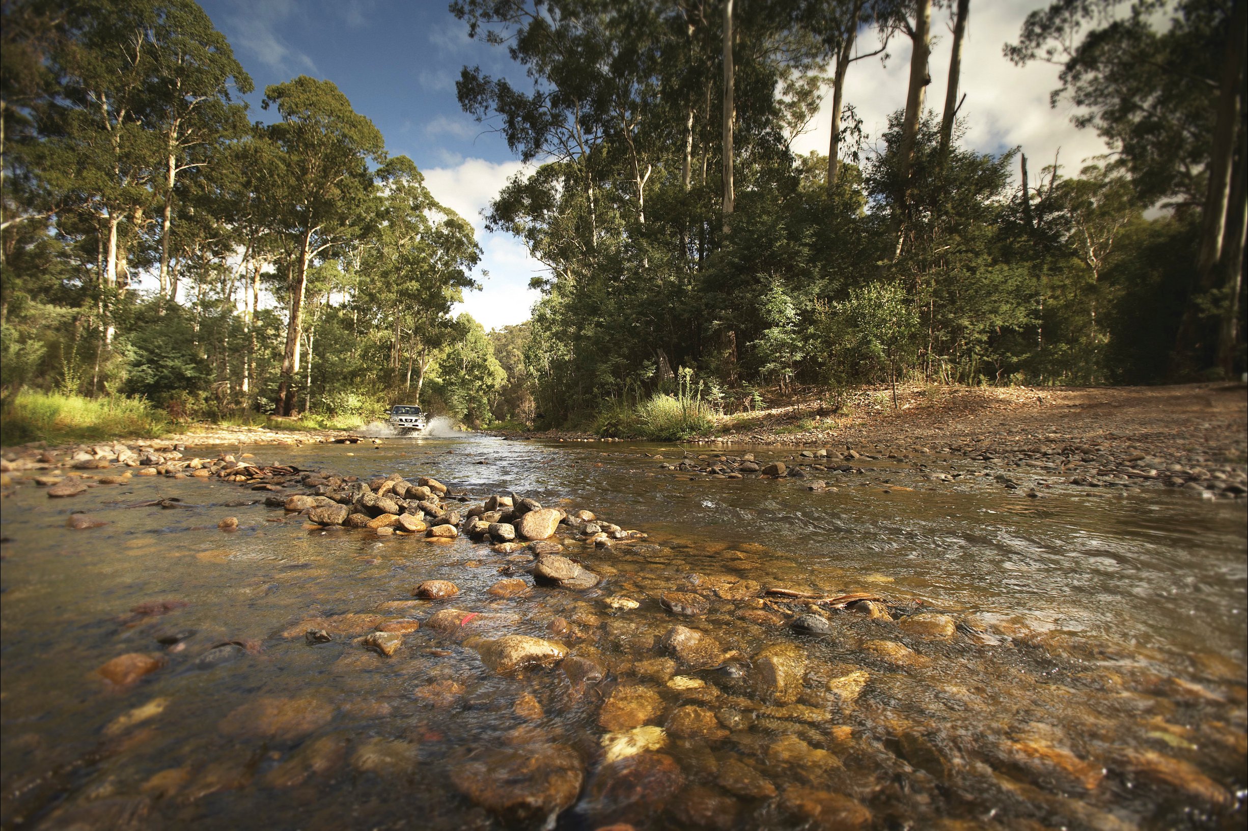
Howqua Hills Historic Area is a site of natural beauty. Set in a secluded valley on the Howqua River it was once busy with gold miners. River flats are surrounded by hills with Manna Gums and Narrow‐Leaved Peppermints. Howqua Hills Historic Area is approximately one-hour drive from Mansfield and is a popular spot for picnics,…
Read MoreStringybark Creek Camping Area
Stringybark Creek Camping Area is a free camping area located in the Toombullup State Forest near Tolmie, northeast of Mansfield. This site links by a walking track to the Stringybark Creek Day Reserve, site of the infamous shooting of three policemen by the Kelly Gang in 1878, and part of the Ned Kelly Touring Route.…
Read More